
-
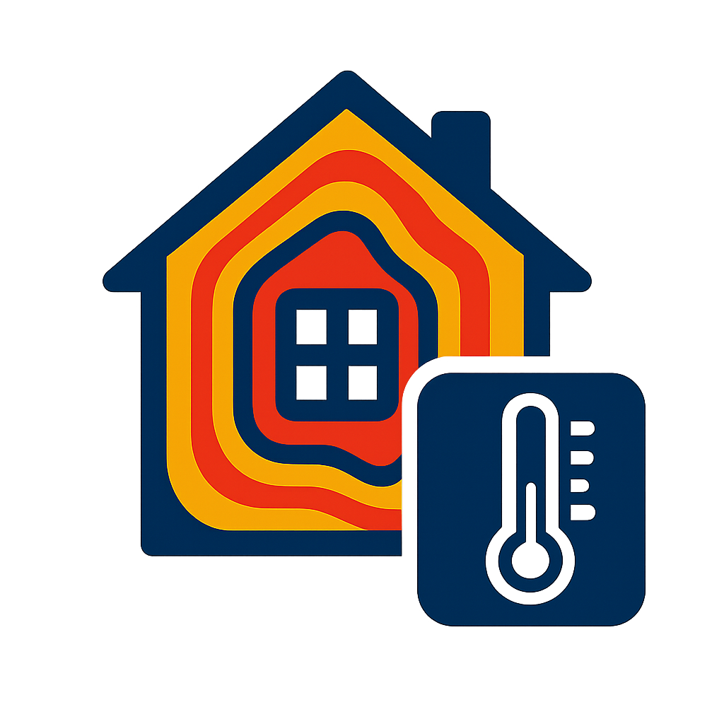
THERMAL IMAGING
Identifying heat loss, damp, insulation issues, and potential Mica/Pyrite damage through aerial thermal imaging.
-

Agricultural mapping
Utilising drone imagery to map layouts, optimise land use, and boost agricultural productivity.
-

CONSTRUCTION MONITORING
Tracking site progress, inspecting builds, and improving project oversight with drone data.
-

aerial Photography
Capturing high-resolution aerial imagery for marketing, inspections, and showcasing properties from a new perspective.